GMA provides online resources to support municipal officials in key areas of local governance. From managing city records and budgets to evaluating tax equity and administering employee benefits, these guides offer essential insights and practical guidance.
Online Publications

Handbook for Mayors and Councilmembers
GMA's essential guide to serving in Georgia municipal office is getting a top-to-bottom revision. The Handbook for Mayors and Councilmembers is designed to help city elected officials navigate their responsibilities with confidence. Updated chapters are available now, covering ethics and conflicts of interest, suspension and removal of elected officials, and liability of public officials and cities.

City Clerk Handbook
City Clerks play a vital role in municipal government. While a city clerk’s job function may vary among Georgia cities, it, for the most part, encompasses many of the responsibilities outlined and discussed in this handbook. This online resource is for common city clerk job duties and responsibilities.

Handbook for Pension Committee Secretaries
The Georgia Municipal Association (GMA) administers the day to day operations of the Georgia Municipal Employees Benefit System (GMEBS) Defined Benefit Plan (Plan). This handbook is intended to be a basic guide for the Pension Committee Secretaries (PCS) of employers who participate in the GMEBS Plan.

Double Taxation Handbook: A Practical Guide to Calculating Double Taxation
This online publication is presented as a practical guide that will allow local officials to evaluate issues of tax equity and determine whether residents are being double taxed for services.

A Budget Guide for Georgia’s Municipalities
This publication has been prepared for municipal officials as a practical guide to the budget process. It includes definitions of budgeting terms, an explanation of the roles of stakeholders in the budget process, and a step-by-step guide to developing a municipal budget.
Downloadable Publications (PDFs)
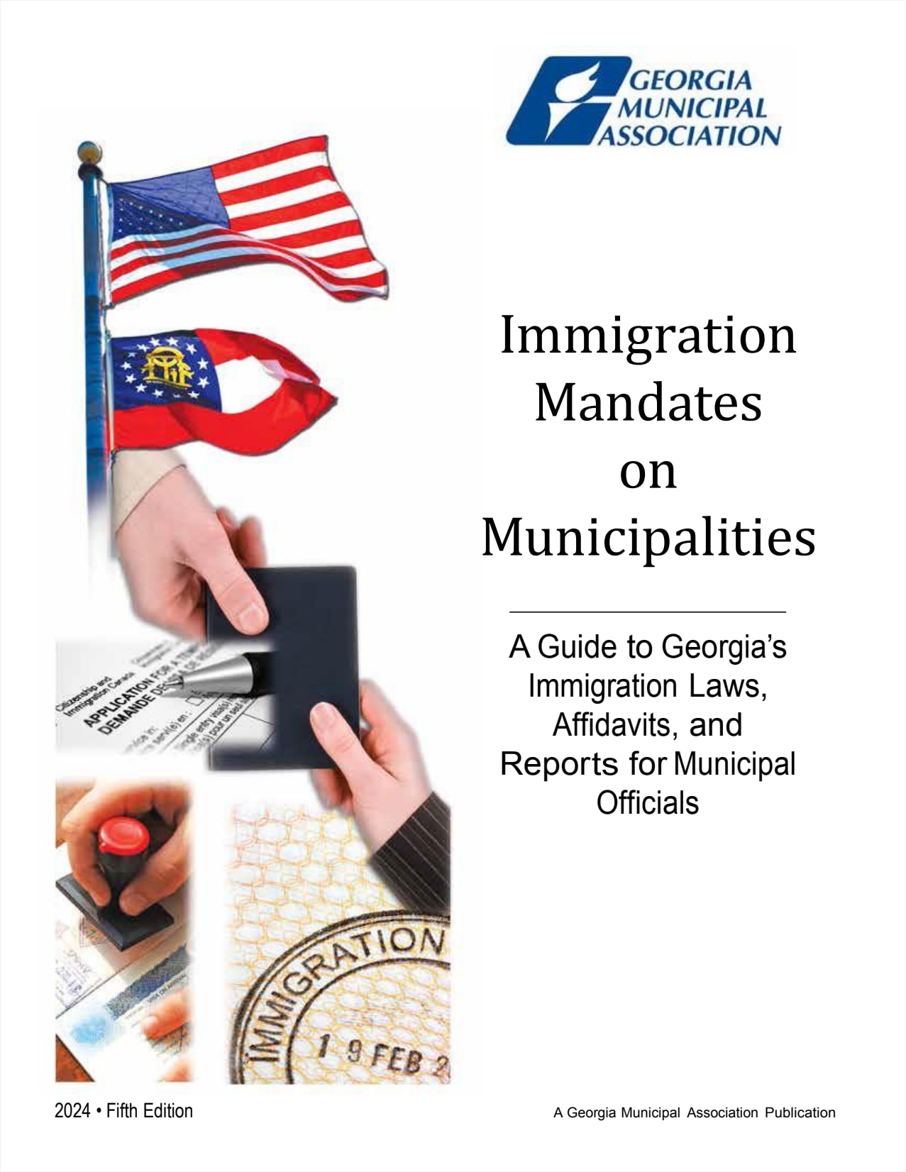
Immigration Mandates on Municipalities
September 2024 (Fifth Edition)
This publication provides an overview of Georgia’s immigration laws affecting municipalities, focusing on legislative mandates from bills passed between 2006 and 2024. It also includes information from other relevant legislation to help explain the mandates placed on Georgia's municipalities. The guide is tailored for municipal compliance, with additional notes on county and consolidated governments.

Distilling the Basics of Municipal Alcoholic Beverage Regulation
October 2020 (Fourth Edition)
This publication offers city officials an overview of key considerations in regulating the manufacturing, distribution, and sale of alcoholic beverages at the local level. It outlines the broad powers granted to local governments by state law, including the authority to issue, suspend, or revoke licenses.
Occupation Taxes and Regulatory Fees: Make Them Work for Your City
May 2015 (Second Edition)
This publication provides city officials with an overview of the laws governing occupation taxes and regulatory fees. It offers guidance for crafting local ordinances in consultation with legal counsel to ensure compliance with current laws and address community-specific needs.
Preparing Tomorrow's Leaders Today: A Guide to Creating Youth Councils
June 2021 (Third Edition)
This publication provides guidance for cities interested in establishing youth councils to engage young citizens in community problem-solving. It explores the benefits of youth participation, such as budget savings, increased support for city initiatives, and better youth-oriented policies.

SPLOST: Building for the Future
June 2012 (Third Edition)
This publication offers municipal officials an overview of the legal and policy considerations related to the Special Purpose Local Option Sales Tax (SPLOST).
Parliamentary Procedure: A Guide for City Officials
June 2007
This publication serves as a guide for municipal governments on simplified parliamentary procedures to ensure efficient and orderly council meetings. It provides an alternative to Robert’s Rules of Order, which can be cumbersome for smaller legislative bodies.

Ethics in Government: Charting the Right Course
July 2010 (Revised)
This publication serves as a guide for city officials in developing comprehensive codes of ethics and addressing ethical challenges in their daily responsibilities.
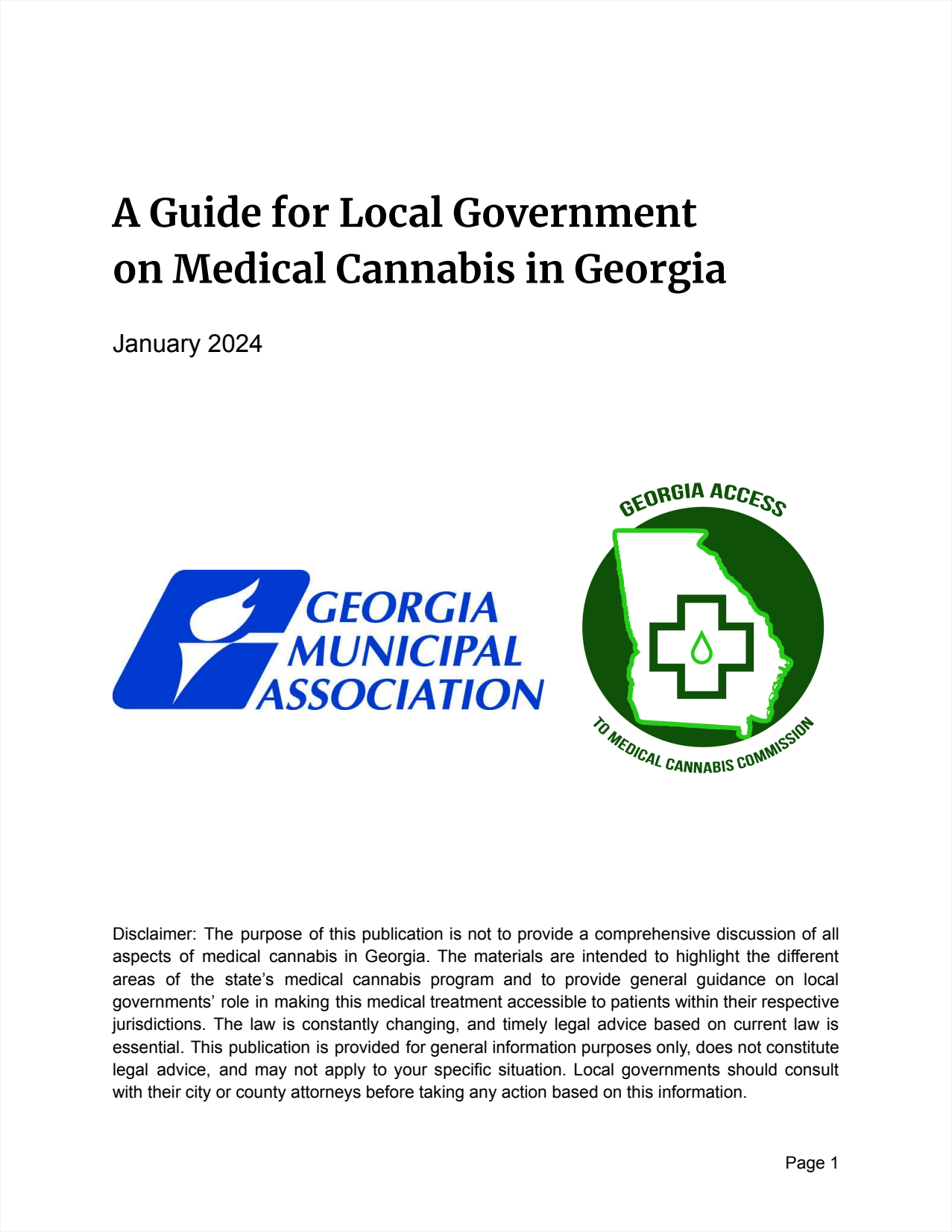
A Guide for Local Government on Medical Cannabis in Georgia
January 2024
The purpose of this guide is to educate and familiarize local governments about the Hope Act and foster a better understanding of the important role they serve in potentially providing local access to medical cannabis in their communities through dispensaries and pharmacies licensed and regulated by the state.
2022 Georgia Municipal Redistricting Guide
January 2022
Redistricting, or reapportionment, is the complex process of redrawing political district boundaries to reflect population changes, often prompted by census data. This GMA guide helps cities navigate the legal and political challenges of redistricting, emphasizing the need for equitable representation and adherence to constitutional principles.
Best Practices For Streamlining the Permitting Process
January 2018
This publication offers city officials an overview of best practices for streamlining the permitting process to promote transparency and support economic development. It highlights solutions implemented by Georgia cities to simplify the process, making it more efficient and encouraging growth in their communities.
Growing Cities, Growing Georgia: A Guide to Georgia's Annexation Law
January 2014 (Sixth Edition)
This publication provides a step-by-step guide to Georgia's annexation laws as outlined in Title 36 of the Official Code of Georgia Annotated.
Georgia Model Municipal Charter
January 2014 (Fifth Edition)
This revised Georgia Model Municipal Charter serves as a resource for city officials looking to update their city charters or for communities considering incorporation.
Millage Rate Process Manual
December 2025
This publication guides city staff through the millage rate setting process, from calculating the rollback rate to adopting the final millage and submitting required state forms.
Municipal Courts: A Guide for Municipal Elected Officials
December 2017
This publication offers elected municipal officials a comprehensive guide to the operations and legal framework of municipal courts. It includes a range of model documents, such as ordinances, service agreements, and best practices developed by the Georgia Municipal Association.
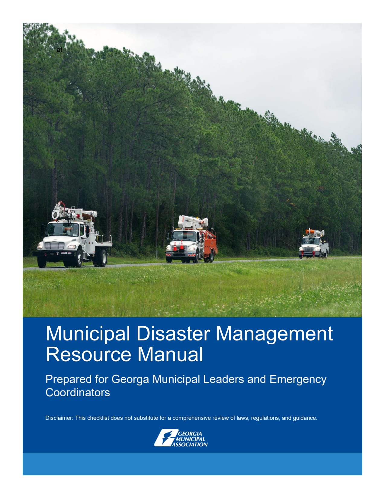
Municipal Disaster Management Resource Manual
August 2025 (First Edition)
This resource manual is designed to help municipal leaders and staff prepare for, respond to, and recover from natural and manufactured disasters. Based on best practices and comprehensive disaster management strategies, this manual outlines key steps and requirements to ensure community readiness, resilience, and effective recovery.
Renegotiating Local Option Sales Tax (LOST)
August 2021
This publication from the Georgia Municipal Association provides essential guidance for city officials involved in renegotiating the distribution of Local Option Sales Tax (LOST) proceeds.

Government in the Sunshine: A Guide to Georgia's Open Meetings and Open Records Laws for Municipal Officials
August 2014 (Eleventh Edition)
This publication provides municipal officials with an updated guide to Georgia's open meetings and open records laws. It includes narratives, checklists, FAQs, and sample forms to help cities comply with these laws, focusing on areas most relevant to local government operations.

Municipal Officials Guide to Tax Reform: HB 386
April 2012
This guide explains changes in Georgia's tax code, specifically those affecting municipal revenue, following the passage of HB 386 in 2012.